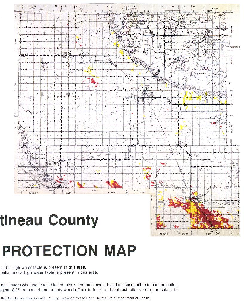
RED - A soil with high leach potential and a high water table is present in this area.
YELLOW - A soil with intermediat leach potential and a high water tabel is present in this area.
Note: The purpose of this map is educational. It provides a general guideline for chemical applicators who use leachable chemicals and must avoid locations susceptible to contamination. All label restrictions must be followed. Further assistance is available from your county agent, SCS personnel and county weed officer to interpret label restrictions for a particular site.